Tuesday, April 29, 2014

Salton Sea

Salton Sea was re-established in 1905 when flooding of the Colorado River hit canal gates and shaped the Imperial Valley rushing into the salton trough. By the time it was controlled, the 130 mile shoreline was created. One of the world's largest inland seas and lowest spots on earth at -227 below sea level with high levels of salt, the Salton Sea basin has limited the number of types of fish that can be found there, and most fish currently caught are Tilapia. The Salton Sea State Recreation allows day use, boat launch, and camping. Day use parking is $5, boat launching $3, and camping $20.


This isn't sand but years and years of dead barnacles and bones of dead fish.


Monday, April 28, 2014

Painted Canyons "Ladder Canyons"

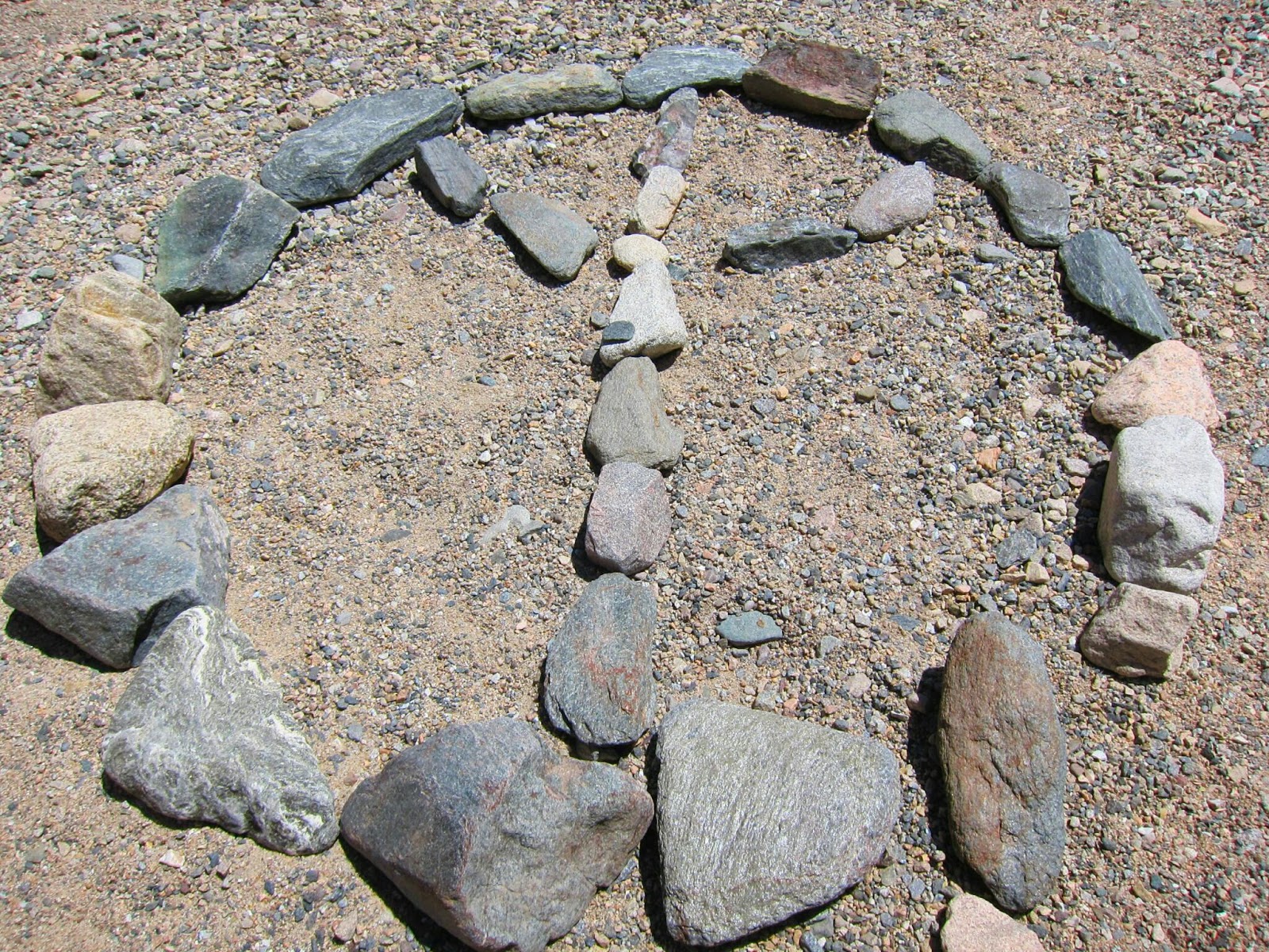
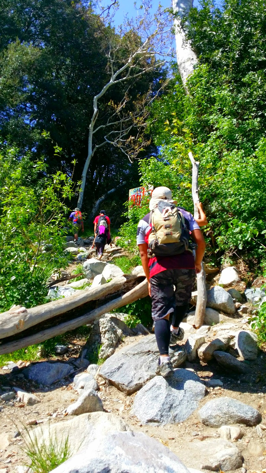
Painted Canyons also known as the, "Ladder Canyons Hike," is located in Mecca, California. One of the most beautiful desert hikes that Southern California has to offer. The canyon exhibits many mineral deposits in colors of rose, pink, red, purple and green. Canyons were formed by the convergence of the North American Plate and the Pacific Plate along the San Andres Fault. As a result of previous San Andres Fault Activity,  the canyons are tall and turned in multiple directions. This makes the hike all the more interesting. Part of the hike will require climbing ladders. Currently, all ladders are replaced by metal ones which are not entirely strapped down as they should be. Depending on what time of year, desert hiking can be very enjoyable and safe. Some things to be aware of are flash floods and very hot weather. According to various reports, many hikers have been rescued every year due to injury or lack of preparation...one being water. Especially during hotter seasons, it is vital to carry lots of water! Anyway, during this hike we experienced winds at about 25 mph (at peak) and a lot of dust (thank God for sunglasses). Overall, we had an enjoyable experience hiking these canyons in Mecca.

Hike Breakdown:
Level: Easy - Moderate
Distance: 5 mile loop
Elevation Gain: 450 feet
Parking: Free but do not leave any valuables in your vehicle. Many reports of break ins in the past year.
Directions: From Palm Springs, Palm Desert, or near Valley cities, follow Highway 111 east to Mecca. Turn left on 66th Avenue and follow it as it curves through Mecca which will turn to Box Canyon Road. After driving about 4 1/2 miles through many grape and citrus ranches you will cross the Coachella Canal and a mile after you will see a sign for Painted Canyon Road on the left. Make a left turn and follow this dirt road for about 4 miles where it will dead-end at the parking trail head.


Go Pro Strapped, Check!


Wednesday, April 23, 2014

Bonita Falls

Bonita Falls in Lytle Creek is a very beautiful 100 foot waterfall nestled in San Bernardino County. It is one of the most gorgeous waterfalls I've seen here in Southern California, but it is a shame that it is surrounded and destroyed by all the graffiti throughout the trail. I think to myself, do these people think to themselves, yeah I'm just going to carry a spray can so I can tag everything up when I hike...don't get me wrong, I appreciate artistic and tasteful graffiting but there is an appropriate place and time for that and it's NOT in nature. Anyway, the hike itself is a very short hike through a small stream and through a lot of large loose rocks. The trail will hug around a canyon and from there most of the path is shaded. Last few feet of the trail is an incline. If you decide to hike this, be very careful for there are a lot of loose rocks; however, it is well worth the view. It was very cold by the waterfall and a hop, skip, and jump will get you very close and well under it. My friends and I had a lot of fun under the waterfall. Freezing cold I must say but luckily, the day we went it was already hot!

Hike Breakdown:
Level: Easy
Distance: 2 miles roundtrip
Elevation Gain: 300 feet
Parking: Adventure or Day Pass Required.
Parking Coordinates: LAT: 34.235329, LON: -117.494377


Tuesday, April 22, 2014

Top of The World

This hike is one of the best sunset and day hikes in Orange County. You have the option of starting off either in Aliso Viejo Wilderness or Laguna Beach Wilderness Park. Both can lead you up to the "Top of The World." This trail you can also customize to how long you want to hike. The views are amazing and on a clear day you can see Catalina Island. Depending where you start, a lot of the trail is exposed so bring sun protection. You also have the option of driving to the top just to catch the sunset but make sure you map to the right location. 3287 Alta Laguna Blvd, Laguna Beach, CA.

Hike Breakdown:
Level: Easy
Distance: 2.5 loop - 7.5 miles, Customizable
Elevation Gain: Up to 1,000 feet
Parking: Free, depending where you start