Bonita Falls in Lytle Creek is a very beautiful 100 foot waterfall nestled in San Bernardino County. It is one of the most gorgeous waterfalls I've seen here in Southern California, but it is a shame that it is surrounded and destroyed by all the graffiti throughout the trail. I think to myself, do these people think to themselves,
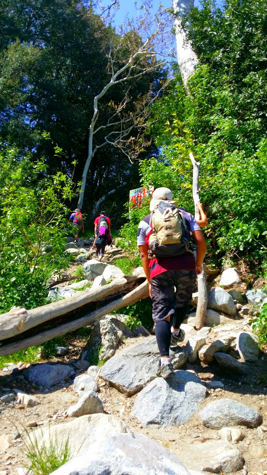
yeah I'm just going to carry a spray can so I can tag everything up when I hike...don't get me wrong, I appreciate artistic and tasteful graffiting but there is an appropriate place and time for that and it's NOT in nature. Anyway, the hike itself is a very short hike through a small stream and through a lot of large loose rocks. The trail will hug around a canyon and from there most of the path is shaded. Last few feet of the trail is an incline. If you decide to hike this, be very careful for there are a lot of loose rocks; however, it is well worth the view. It was very cold by the waterfall and a hop, skip, and jump will get you very close and well under it. My friends and I had a lot of fun under the waterfall. Freezing cold I must say but luckily, the day we went it was already hot!
Hike Breakdown:
Level: Easy
Distance: 2 miles roundtrip
Elevation Gain: 300 feet
Parking: Adventure or Day Pass Required.
Parking Coordinates:
LAT: 34.235329, LON: -117.494377