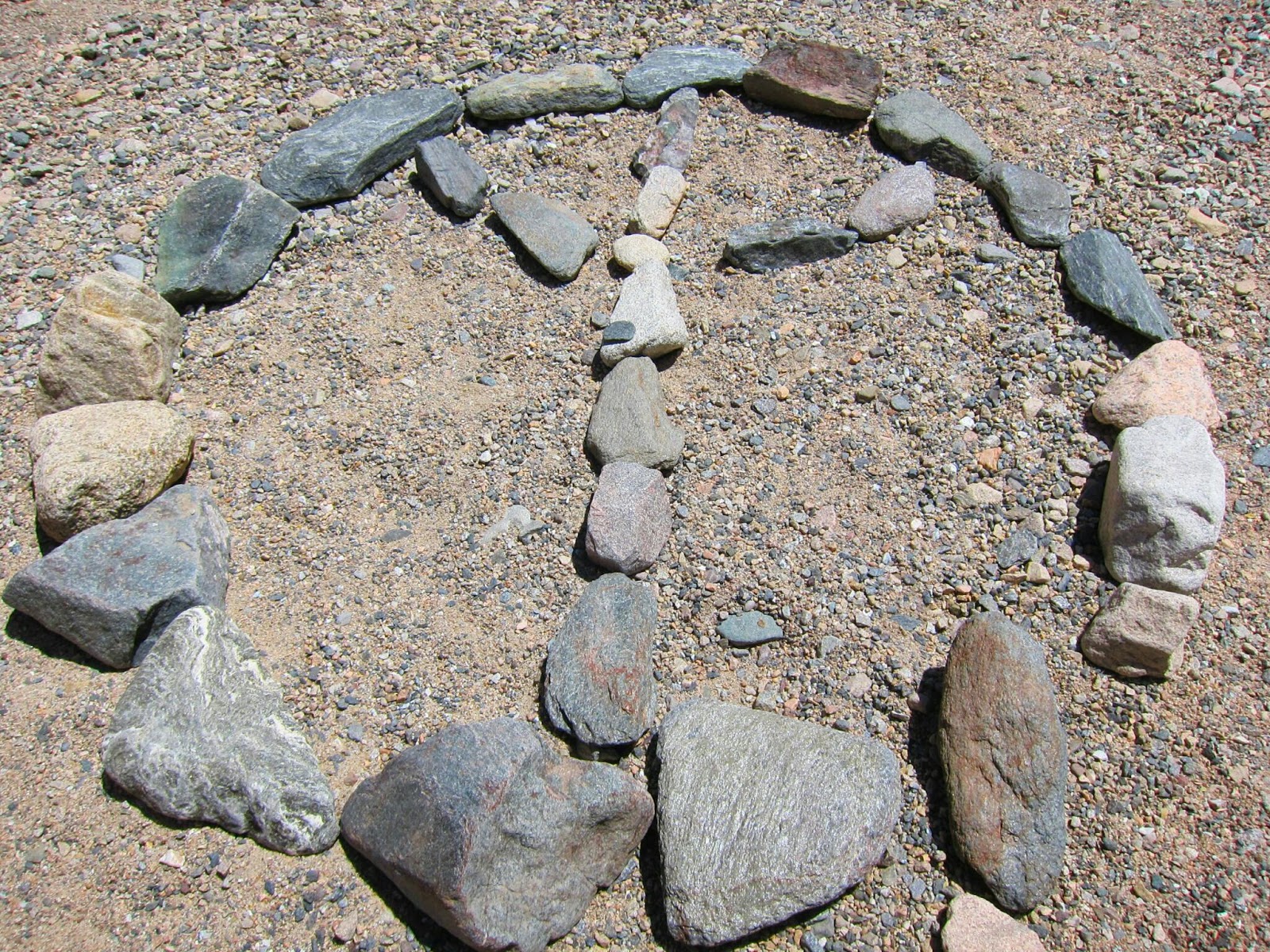
This isn't sand but years and years of dead barnacles and bones of dead fish.
Showing posts with label Travel. Show all posts
Tuesday, April 29, 2014
Salton Sea
Salton Sea was re-established in 1905 when flooding of the Colorado River hit canal gates and shaped the Imperial Valley rushing into the salton trough. By the time it was controlled, the 130 mile shoreline was created. One of the world's largest inland seas and lowest spots on earth at -227 below sea level with high levels of salt, the Salton Sea basin has limited the number of types of fish that can be found there, and most fish currently caught are Tilapia. The Salton Sea State Recreation allows day use, boat launch, and camping. Day use parking is $5, boat launching $3, and camping $20.
Labels:
Adventure,
American,
Beach,
California,
Hiking,
Salton Sea,
Southern California,
Travel
Monday, April 28, 2014
Painted Canyons "Ladder Canyons"
Painted Canyons also known as the, "Ladder Canyons Hike," is located in Mecca, California. One of the most beautiful desert hikes that Southern California has to offer. The canyon exhibits many mineral deposits in colors of rose, pink, red, purple and green. Canyons were formed by the convergence of the North American Plate and the Pacific Plate along the San Andres Fault. As a result of previous San Andres Fault Activity, the canyons are tall and turned in multiple directions. This makes the hike all the more interesting. Part of the hike will require climbing ladders. Currently, all ladders are replaced by metal ones which are not entirely strapped down as they should be. Depending on what time of year, desert hiking can be very enjoyable and safe. Some things to be aware of are flash floods and very hot weather. According to various reports, many hikers have been rescued every year due to injury or lack of preparation...one being water. Especially during hotter seasons, it is vital to carry lots of water! Anyway, during this hike we experienced winds at about 25 mph (at peak) and a lot of dust (thank God for sunglasses). Overall, we had an enjoyable experience hiking these canyons in Mecca.
Hike Breakdown:
Level: Easy - Moderate
Distance: 5 mile loop
Elevation Gain: 450 feet
Parking: Free but do not leave any valuables in your vehicle. Many reports of break ins in the past year.
Level: Easy - Moderate
Distance: 5 mile loop
Elevation Gain: 450 feet
Parking: Free but do not leave any valuables in your vehicle. Many reports of break ins in the past year.
Directions: From Palm Springs, Palm Desert, or near Valley cities, follow Highway 111 east to Mecca. Turn left on 66th Avenue and follow it as it curves through Mecca which will turn to Box Canyon Road. After driving about 4 1/2 miles through many grape and citrus ranches you will cross the Coachella Canal and a mile after you will see a sign for Painted Canyon Road on the left. Make a left turn and follow this dirt road for about 4 miles where it will dead-end at the parking trail head.
Go Pro Strapped, Check!
Monday, April 14, 2014
Mount San Antonio "Mount Baldy"
Yesterday I accomplished something huge! I summited Mount Baldy and further, the tallest peak in Los Angeles County...18 miles with a 15 pound pack. 15 pounds may not seem like a big deal but when you're 4'11" and 100 pounds with a 3,950 elevation gain, it can feel like quadruple the weight. We started the trail at 7:40 am and probably did not finish until 4:30 pm. The reason why it took so long was because we decided to do the Mount Baldy loop but made a wrong turn! Our 7 hour hike turned into a 9 hour hike. Before you make any assumptions, let me discuss the trail itself. Once you start the trail it's a fairly recognizable trail; however, there are no mile markers or signs indicating where to go. It's as if you just follow what looks like a trail up. Much of the trail is shaded and weather and winds during this time of year can be tricky so layering is key. Much of the hike is incline and will make you sweat! With that said, bring lots of water and snacks to rejuvenate yourself! At the halfway mark which is about where the ski lifts and cafe is, the hike gets a little bit more challenging. There is a point in the hike called, "The Devil's Backbone," where the trail is very narrow. One wrong footing, you can fall and hurt yourself severely...or even die! However, the views are breathtaking. The last mile before you reach the top is the most gruesome but rewarding. The winds here definitely picked up and snow was still present at this point of the hike. Once you reach the top, you will see gorgeous 360 views of the mountains and feel pretty accomplished. Don't pat yourself on the back just yet, coming down is a challenge as well and whether you go the same way you came or a different route, all ways can be difficult. If you decide to take the loop, pay close attention because missing the turn can be easy. Trails down that path are not as recognizable and are definitely more steep. Once we reached the bottom, the trail lead us out on the street, 5 miles from the parking lot of the base of the Mt. Baldy hike. My cousin and I hitched a ride with a lovely couple, Katia and Dave, who drove us back to our car while our friend Kwan travelled an extra 2 miles to hitch a ride with a local who said it was very common for hikers to miss the loop during the hike and happens every weekend. What boggled us was if it is so common and happens on a weekly basis, why haven't the rangers fix the issue by posting actual signs for the hike? Anyway, it was still a wonderful experience with friends and family!
Hike Breakdown:
Level: Very Difficult
Distance: 10.33 miles (we hiked 18 miles, Kwan hiked 20 miles)
Elevation Gain: 3,950 feet
Parking: Adventure Pass required or Day Pass
Hike Breakdown:
Level: Very Difficult
Distance: 10.33 miles (we hiked 18 miles, Kwan hiked 20 miles)
Elevation Gain: 3,950 feet
Parking: Adventure Pass required or Day Pass
Photo Credit: Mai
The view in the morning before we began the hike
Start of the hike are all inclines
After the midpoint, my cousin and I decided to take the harder route.
Middle of Devil's Backbone
We made it!
Stabbed by a rock
The one and only sign (but only from the bear canyon entrance)
5 miles from our car!
Photo credits: Mai, Dee & Kwan
Go Pro Hero 3
Samsung Note 3
Samsung Galaxy S3
Saturday, April 12, 2014
Temescal Canyon To Skull Rock
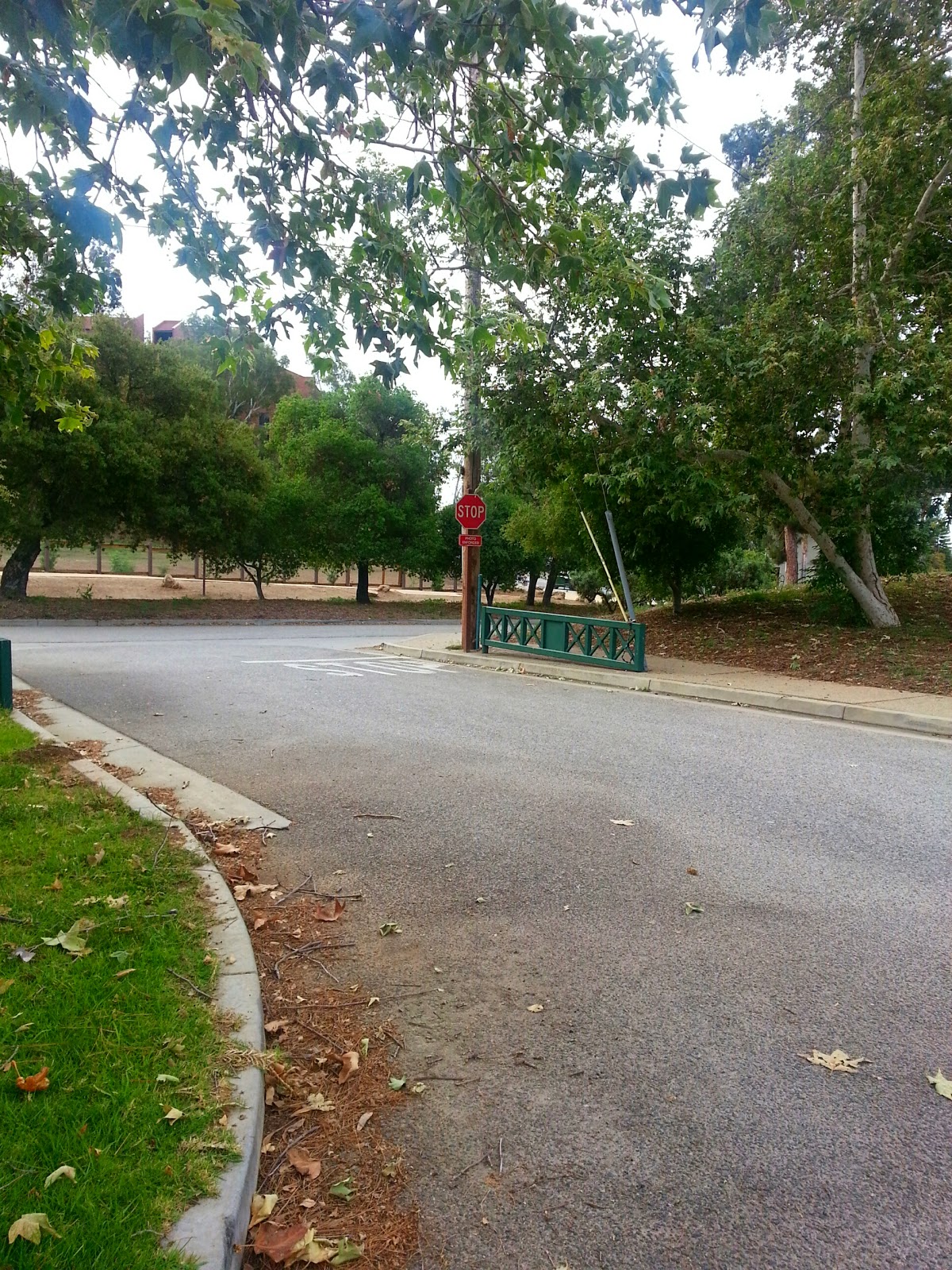
Today we got to hike to Skull Rock in Temescal Gateway Park for a birthday celebration in honor of our friend, Chet. I actually woke up at 5:30 am to get my things together...yes I procrastinated, but we ended up hiking at 9 am because we had to wait for his brother and other friends. It was a cloudy morning and we parked on Sunset because we did not want to pay the $7 parking fee, and also we did not want to deal with the camera at the stop sign. That camera is notorious for catching people who do not completely stop. Parking on the street wasn't too bad. More walking is good anyway. The Temescal Gateway Park is near Topanga State Park and Will Rogers State Park. Trails can lead to other trails and all these parks are part of the Santa Monica Mountains. As we started the trail it was easy but as we got further in, there were more and more inclines. Lucky for us, the inclines were gradual and not too steep but majority of the hike was incline. We had maybe 2 or 3 people who were beginner hikers which those 2 people gave up on the trail and ended up walking back to the car. Sucks, they did not get to the end. Many parts of the trail is shaded but as you get to the top, it is exposed. We hiked to the waterfall but it was completely dry. Dogs are not allowed in the state park but are allowed at the gateway. We ended up hiking in total maybe close to 6 miles and enjoyed climbing Skull Rock and the beautiful views!
Hike Breakdown:
Level: Moderate
Distance: 4.6 miles (but we hiked further, 6 miles)
Elevation Gain: 1,135 feet
Parking: $7 inside (watch out for stop sign camera) or free parking on street
Hike Breakdown:
Level: Moderate
Distance: 4.6 miles (but we hiked further, 6 miles)
Elevation Gain: 1,135 feet
Parking: $7 inside (watch out for stop sign camera) or free parking on street
Skull Rock
Parking on Sunset
Stop Sign With Camera
Dry Waterfall
Me Attempting to Rock Climb
Sitting At the Mouth of the Skull
Back of Skull's Head
The View
Subscribe to:
Posts (Atom)